
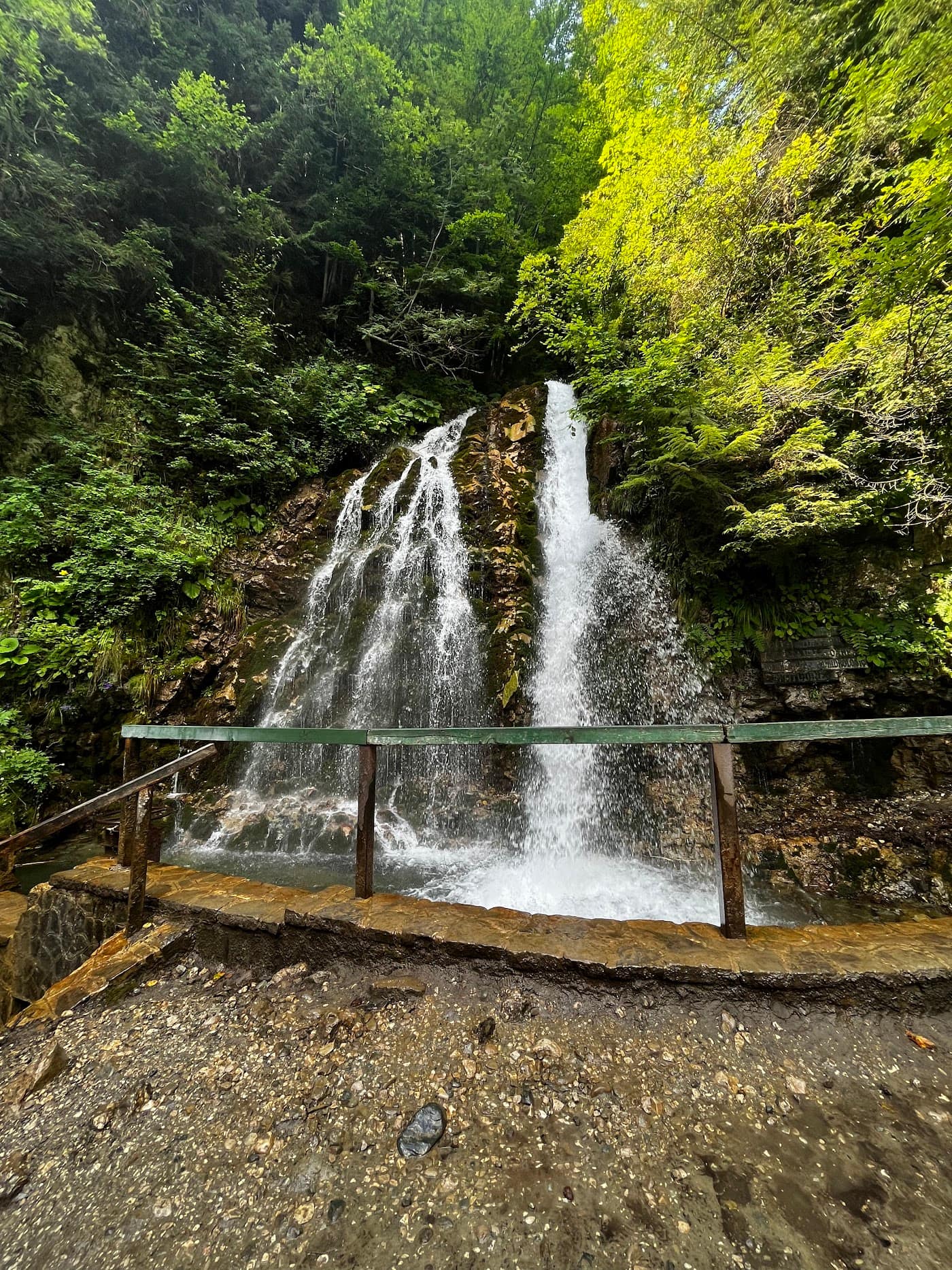
Urlătoarea Waterfall is the most accessible waterfall in the Bucegi and, most likely, the first real hike in many a child's life: a path of about an hour from Bușteni, through beech forest, up to the thread of water falling from the Jepii Mici wall. The name — "the roaring one" — is no exaggeration: at high flow you hear it before you see it, and the air around is cold and full of spray even at the height of summer. The scene changes with the season: a torrent in May and June, a thin ribbon in August, colonnades of ice in January.
The route is waymarked with a moderate height gain, but has stretches of boulders and slippery roots, so boots beat trainers.
Good to know Access details are indicative — check locally before you go, especially in spring when the path can be muddy. Consult the mountain weather and the Salvamont advice if you intend to continue toward the plateau. It pairs perfectly with Cantacuzino Castle, the climb over Jepii Mici to Babele, or the Bușteni – Babele cable car. See the rest of the Prahova Valley & Bucegi region and guesthouses nearby.
Experiences & tours
Tours & activities · Valea Prahovei & Munții Bucegi
Excursions, guided tours, adventure and tickets — book online, many with free cancellation.
Before you set off
Check the ground truth, don't guess
Slope conditions
Live snow and temperature across every resort.
Weather & snow
Forecast by mountain area, wind and snow depth.
Road status
Transfăgărășan, Transalpina and the high passes.
Live webcams
See the sky and the snow yourself, before you go.
Mountain rescue
112 and the rescue dispatch — save the numbers now.
Plan your trip
Everything you need for the mountains
Affiliate content: bookings through these offers may earn us a commission, at no extra cost to you.
Stays in the area
Stays nearby
Compare stays available near this place, on the map.
Accommodation map by Stay22 · indicative prices. Bookings through the map may earn a commission, at no extra cost to you.
Frequently asked questions about Cascada Urlătoarea
When is the best time to visit Cascada Urlătoarea?
For peaks, lakes and alpine roads, the ideal window is summer to early autumn (June–October), when the weather is more stable and access is easier. Check the forecast first, as conditions change fast at altitude.
How do you get to Cascada Urlătoarea?
The easiest way is by car to the area, then on the marked trails or access roads. See the map below and plan your route by season and road conditions.