
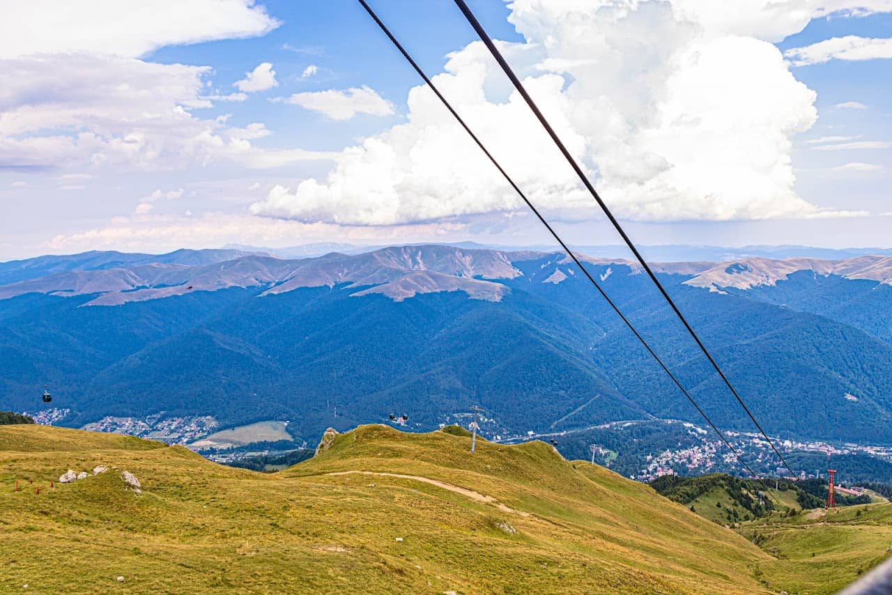
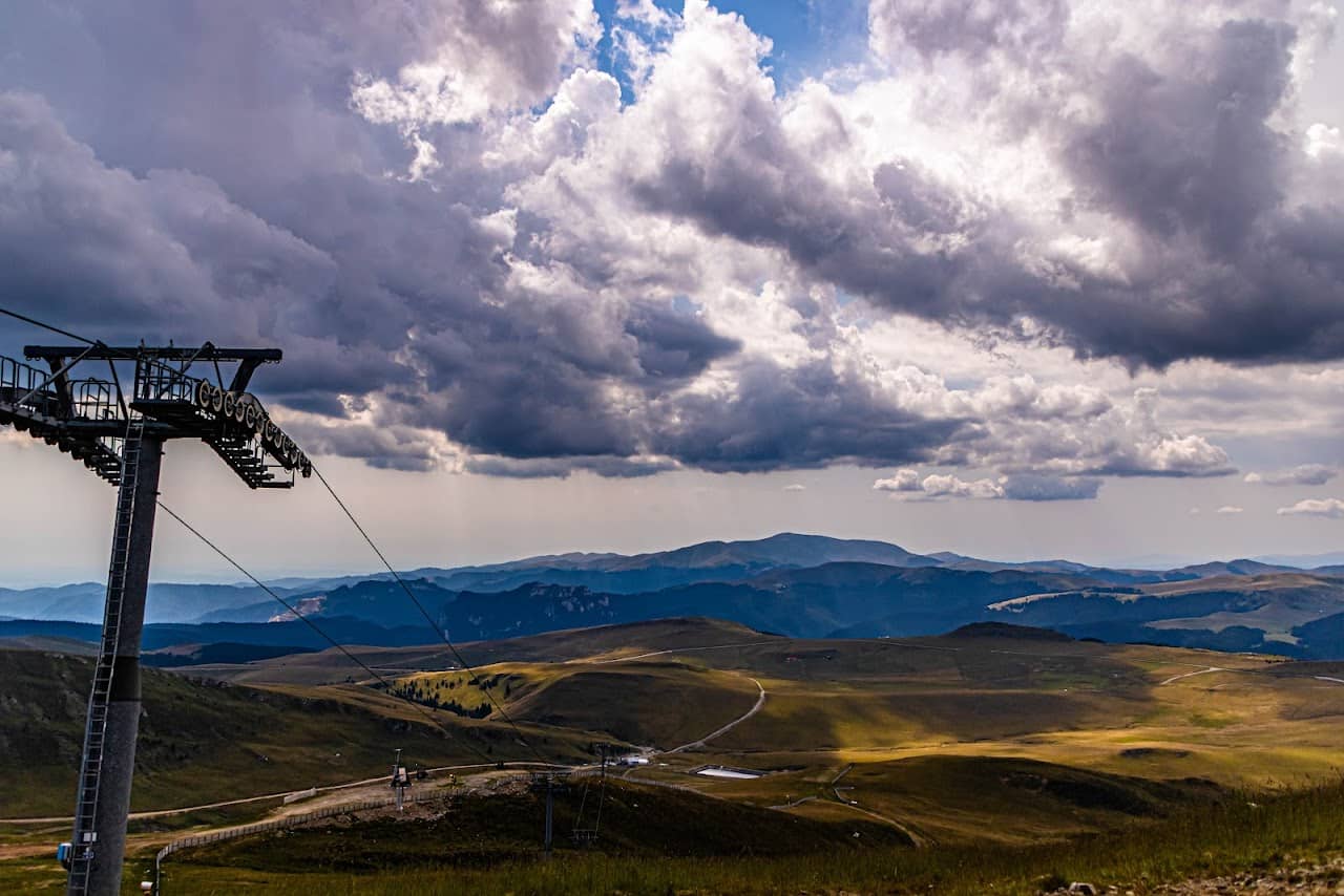
The Cota 2000 cable car is the quickest way to change the scenery in the Bucegi: you leave the spruce forests above Sinaia and within minutes you're up top, where the vegetation thins, the wind shifts and the plateau opens wide towards the ridge. With a 4.6 Google rating from over 285 reviews, it is very well rated by travellers. In winter it serves the runs of the Sinaia ski area; in summer it becomes the starting point for hikes that would otherwise demand hours of climbing.
From the top, waymarked paths lead into the heart of Bucegi Nature Park and onward to Babele and Omu Peak. Even if you rode up in comfort, you are in alpine terrain: the weather turns fast, cloud rolls in, and the temperature up there bears no relation to the one at the base station.
Good to know Timetables and operation depend on wind and visibility, so check on the day. Bring extra layers, water and proper boots — not trainers. Look at the mountain weather before going up and keep the mountain rescue details to hand. Peleș Castle and the rest of the sights in the Prahova Valley and Bucegi fit neatly into the same outing.
Experiences & tours
Tours & activities · Valea Prahovei & Munții Bucegi
Excursions, guided tours, adventure and tickets — book online, many with free cancellation.
Before you set off
Check the ground truth, don't guess
Slope conditions
Live snow and temperature across every resort.
Weather & snow
Forecast by mountain area, wind and snow depth.
Road status
Transfăgărășan, Transalpina and the high passes.
Live webcams
See the sky and the snow yourself, before you go.
Mountain rescue
112 and the rescue dispatch — save the numbers now.
Plan your trip
Everything you need for the mountains
Affiliate content: bookings through these offers may earn us a commission, at no extra cost to you.
Stays in the area
Stays nearby
Compare stays available near this place, on the map.
Accommodation map by Stay22 · indicative prices. Bookings through the map may earn a commission, at no extra cost to you.
Frequently asked questions about Telecabina Cota 2000
When is the best time to visit Telecabina Cota 2000?
For peaks, lakes and alpine roads, the ideal window is summer to early autumn (June–October), when the weather is more stable and access is easier. Check the forecast first, as conditions change fast at altitude.
How do you get to Telecabina Cota 2000?
The easiest way is by car to the area, then on the marked trails or access roads. See the map below and plan your route by season and road conditions.