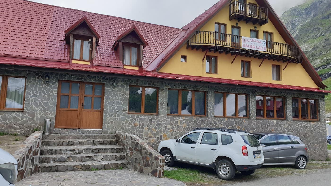
Cabana Bâlea Lac is an iconic chalet in the Făgăraș Mountains, set right on the shore of the Bâlea glacial lake at roughly 2034 m, at the alpine end of the Transfăgărășan road, in the Făgăraș – Transfăgărășan area. It is one of the most accessible high-altitude spots in the Carpathians and a popular gateway to the Făgăraș ridge.
The setting is spectacular: the lake, the glacial cirque and the surrounding sheer walls draw both summer tourists arriving by car and hikers heading for the peaks. In winter, when the Transfăgărășan closes, access is by cable car.
Getting there
- In summer, directly by car on the Transfăgărășan (Transfăgărășan) up to the lake — the road is usually open in summer, check the dates.
- In winter, by cable car from Bâlea Cascadă up to Bâlea Lac.
- On foot, from the Bâlea valley, a climb of several hours for those who prefer hiking.
What to do from here
- Visit Bâlea Lake, one of the most beautiful glacial lakes in the country.
- Set off on the Bâlea – Negoiu via Strunga Dracului or Bâlea – Capra trail.
- Connect to the Făgăraș ridge for long ridge traverses.
Tips
- The hiking season is July–September; in winter there is avalanche risk on the trails.
- The chalet is very popular — check accommodation availability in advance, especially in summer.
- Weather at altitude changes suddenly; check the weather and save the Mountain Rescue number.
⚠ Indicative data — needs verification
Experiences & tours
Tours & activities · Munții Făgăraș & Transfăgărășan
Excursions, guided tours, adventure and tickets — book online, many with free cancellation.
Stays in the area
Stays nearby
Compare stays available near this place, on the map.
Accommodation map by Stay22 · indicative prices. Bookings through the map may earn a commission, at no extra cost to you.
Frequently asked questions about Cabana Bâlea Lac
When is the best time to visit Cabana Bâlea Lac?
For peaks, lakes and alpine roads, the ideal window is summer to early autumn (June–October), when the weather is more stable and access is easier. Check the forecast first, as conditions change fast at altitude.
How do you get to Cabana Bâlea Lac?
The easiest way is by car to the area, then on the marked trails or access roads. See the map below and plan your route by season and road conditions.