
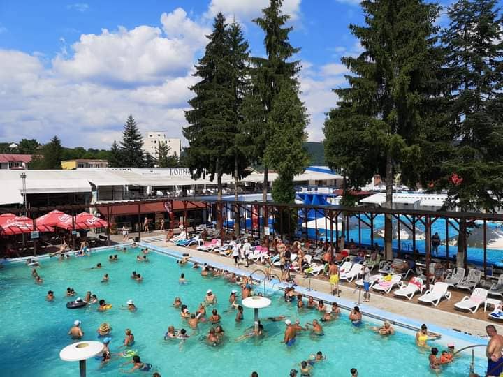
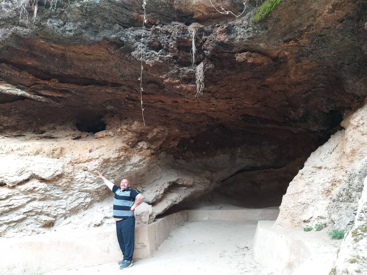
Ștrand Băile Daco Romane carries on one of the oldest habits on Romanian soil: sitting in warm water that comes up out of the ground on its own. The name is not marketing licence — the spa area it belongs to has a bathing tradition reaching back to antiquity, and today's pools sit directly over that same thermal seam. With a 4.1 Google rating from over 2271 reviews, it is well rated by visitors.
The experience is homely rather than glamorous: open-air pools, steam rising on cold mornings, wooded hills all around, and regulars who come back year after year for their joints and for the quiet. It is at its best in late autumn and winter, when the contrast between cold air and warm water becomes the whole point of the trip.
Good to know Bring pool sandals, a towel and some patience on busy weekends; check opening times before you travel, as they shift with the season. It pairs well with other spa stops — Geoagiu-Băi, Băile Herculane or Băile Olănești — and with the rest of the country's thermal baths. See the map of the area, stays nearby and the mountain weather before you set off.
Experiences & tours
Tours & activities · Ștrand Băile Daco Romane
Excursions, guided tours, adventure and tickets — book online, many with free cancellation.
Before you set off
Check the ground truth, don't guess
Slope conditions
Live snow and temperature across every resort.
Weather & snow
Forecast by mountain area, wind and snow depth.
Road status
Transfăgărășan, Transalpina and the high passes.
Live webcams
See the sky and the snow yourself, before you go.
Mountain rescue
112 and the rescue dispatch — save the numbers now.
Plan your trip
Everything you need for the mountains
Affiliate content: bookings through these offers may earn us a commission, at no extra cost to you.
Stays in the area
Stays nearby
Compare stays available near this place, on the map.
Accommodation map by Stay22 · indicative prices. Bookings through the map may earn a commission, at no extra cost to you.
Frequently asked questions about Ștrand Băile Daco Romane
When is the best time to visit Ștrand Băile Daco Romane?
For peaks, lakes and alpine roads, the ideal window is summer to early autumn (June–October), when the weather is more stable and access is easier. Check the forecast first, as conditions change fast at altitude.
How do you get to Ștrand Băile Daco Romane?
The easiest way is by car to the area, then on the marked trails or access roads. See the map below and plan your route by season and road conditions.