
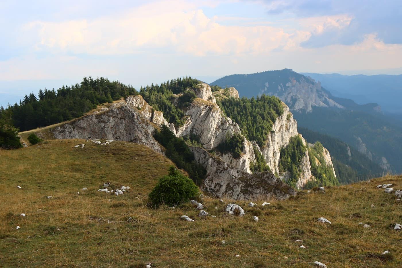
Cheile Bicazului–Hășmaș National Park takes in one of the most dramatic gorges in the Carpathians and the limestone plateau above it. The road threads between vertical walls that cut the sky into a thin strip — the section called Gâtul Iadului is where most drivers slow down without meaning to. Higher up, beyond the gorge, the landscape changes entirely: white limestone crests, meadows with rare flowers, and quiet, because very few of the gorge's visitors also take to the paths.
The park also includes Lacu Roșu, the natural dammed lake formed by a landslide, with fir trunks still visible near the surface in the shallows.
Good to know You cross the gorge by car, but it is worth parking and walking a stretch; rockfall is real, so do not linger beneath the walls. Climbers have one of the richest playgrounds in the country here. Check the mountain weather and the Salvamont advice before any hike. See also Bicaz Gorges, neighbouring Ceahlău National Park with the Durău – Toaca route, and the rest of the Ceahlău & Bicaz region.
Experiences & tours
Tours & activities · Ceahlău, Cheile Bicazului & Lacu Roșu
Excursions, guided tours, adventure and tickets — book online, many with free cancellation.
Before you set off
Check the ground truth, don't guess
Slope conditions
Live snow and temperature across every resort.
Weather & snow
Forecast by mountain area, wind and snow depth.
Road status
Transfăgărășan, Transalpina and the high passes.
Live webcams
See the sky and the snow yourself, before you go.
Mountain rescue
112 and the rescue dispatch — save the numbers now.
Plan your trip
Everything you need for the mountains
Affiliate content: bookings through these offers may earn us a commission, at no extra cost to you.
Stays in the area
Stays nearby
Compare stays available near this place, on the map.
Accommodation map by Stay22 · indicative prices. Bookings through the map may earn a commission, at no extra cost to you.
Frequently asked questions about Parcul Național Cheile Bicazului–Hășmaș
When is the best time to visit Parcul Național Cheile Bicazului–Hășmaș?
For peaks, lakes and alpine roads, the ideal window is summer to early autumn (June–October), when the weather is more stable and access is easier. Check the forecast first, as conditions change fast at altitude.
How do you get to Parcul Național Cheile Bicazului–Hășmaș?
The easiest way is by car to the area, then on the marked trails or access roads. See the map below and plan your route by season and road conditions.