Hiking in the Bucegi is probably the most accessible gateway into Romania's high mountains: a broad plateau above 2000 m, cable cars that cut out the long climb from the valley, and trails for every level, from family strolls to serious outings toward Omu. Precisely because everything looks within reach, many people underestimate the massif — and the plateau, so gentle in good weather, turns into fog and wind the moment the conditions break. This guide to hiking in the Bucegi helps you pick the right trail and avoid the "it's easy, it's only the Bucegi" trap.
For the overview, open the Prahova Valley and Bucegi zone page. Every branch we discuss below starts from there.
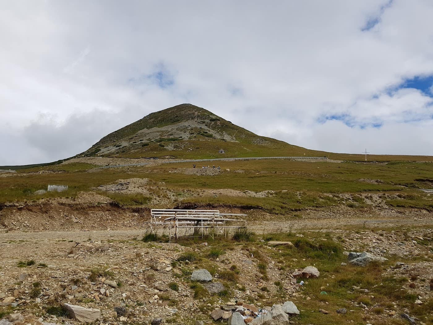
The Bucegi plateau: the heart of the massif
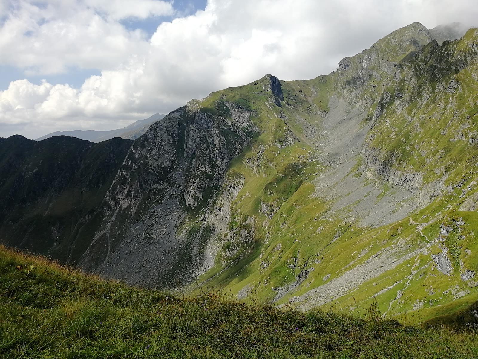
The plateau is a rolling expanse of alpine meadow suspended at altitude, edged by spectacular cliffs dropping toward the Prahova Valley. Most of the trails run across it, and so do the massif's famous landmarks. The plateau's advantage is that, once you're up (by cable car or on foot), you walk relatively gently over long distances, with no brutal climbs. The drawback is exposure: there is nowhere to hide from wind or storm, and in fog it's easy to lose your bearings because the visual references vanish.
That's why, even for an "easy" plateau outing, the rules stay the same: check the mountain weather forecast, start early, tell someone your route, and carry a shell layer and a headlamp.
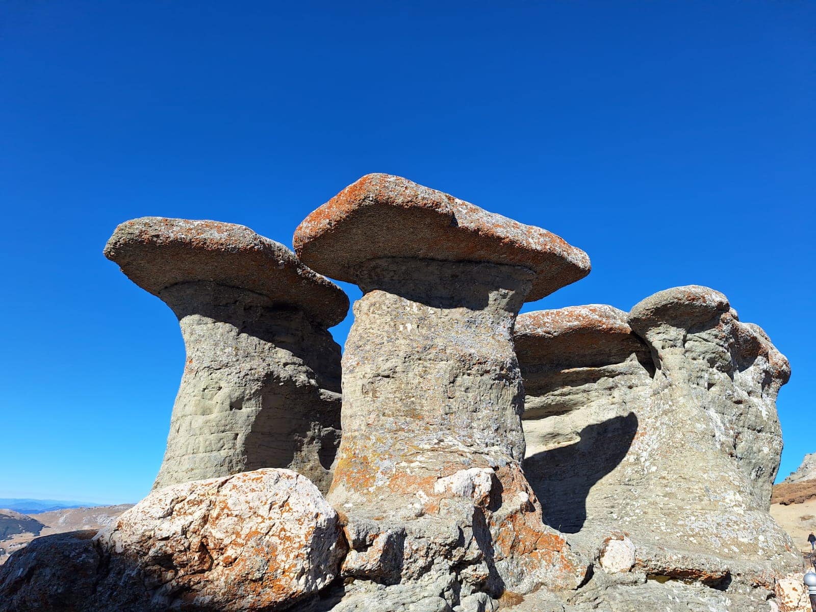
The Sphinx and Babele
The plateau's best-known landmarks are the Sphinx, a rock shaped by wind and frost that from a certain angle resembles a human profile, and the cluster of rocks called Babele ("the Old Women"). They sit a few steps from the upper station of the Bușteni cable car, which explains why they're always crowded. They're worth seeing, but don't mistake their accessibility for a safety guarantee: the plateau weather is the same 200 m from the cable car as it is in the middle of nowhere.
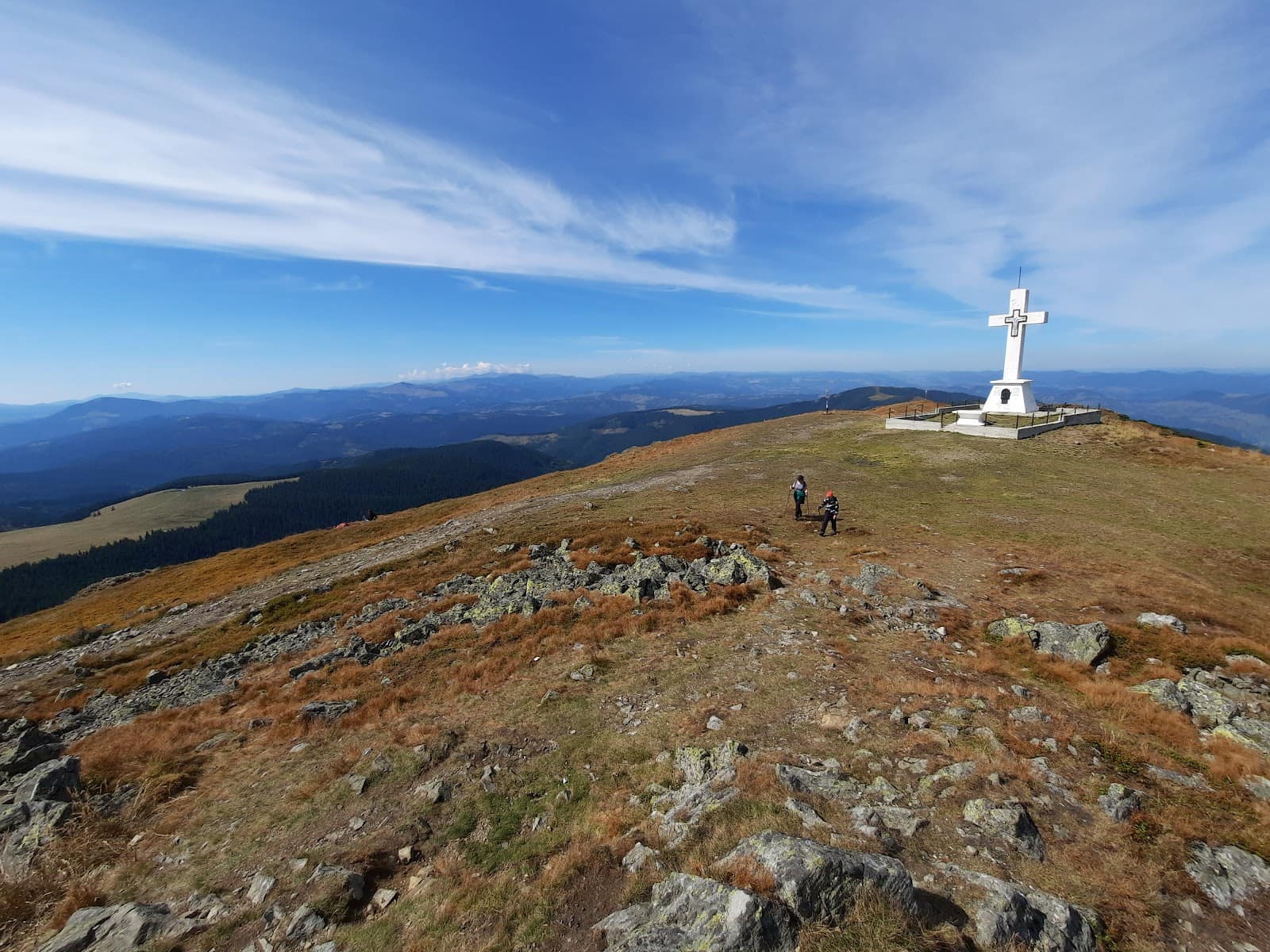
Babele–Omu: the key trail
The walk from Babele to Omu Peak, 2514 m, is the backbone trail of the plateau and the target of many hikers. Omu is the highest point of the Bucegi and a trail hub from which several descents head down to the valleys. The route described on the Babele–Omu page follows the northern plateau and, while not technically hard, is long and fully exposed.
A few things to know first: - The distance is deceptive. Walking the plateau seems easy, but the round trip to Omu adds up to several hours; plan your return to the cable car before the last run. - Weather beats altitude. At Omu, wind and fog are the rule, not the exception. What leaves Babele under clear skies can arrive at Omu as hail. - Times are indicative. Your pace depends on fitness, the wind, and how long you linger at the landmarks.
The Bușteni and Sinaia cable cars
The cable cars are the Bucegi's great asset for anyone who wants the high mountains without the long valley climb. From Bușteni, the cable car rises straight onto the plateau, near Babele, and is the most-used quick access. From Sinaia, the lifts climb in stages toward Cota 1400 and higher, opening other paths to the plateau.
Beware the dependence on lifts, though: they have schedules, maintenance, stop in strong wind, and develop serious queues on peak weekends. If you rely on the cable car for your return, check the last run and have a plan B to descend on foot in case the lift stops. For those mixing the mountains with snow, the area also has a ski domain — see skiing in Sinaia.
On foot vs. by cable car
- By cable car you save time and energy, but you're tied to the schedule and the crowds.
- On foot you have full freedom and a more complete experience, but you climb and descend large elevation differences on paths that can be steep and demanding.
Many choose the mixed formula: go up by cable car and descend on foot down a valley, or vice versa.
Easy trails vs. hard trails
The Bucegi have a reputation as a mountain "for everyone," and it's true they offer gentle options — but the same massif also has serious cliffs and technical valleys that don't forgive carelessness.
For families and beginners: - Short plateau strolls around Babele and the Sphinx, with a round-trip cable car. - Gentle plateau sections in stable weather, with the return planned in advance.
For experienced hikers: - The full Babele–Omu round trip, long and exposed. - Descents on the Prahova-side valleys, steep and demanding. - Combinations with other objectives in the massif, on full-day stages.
Whatever your level, don't mistake easy access for guaranteed safety. Read our mountain safety and weather guide before your first serious outing.
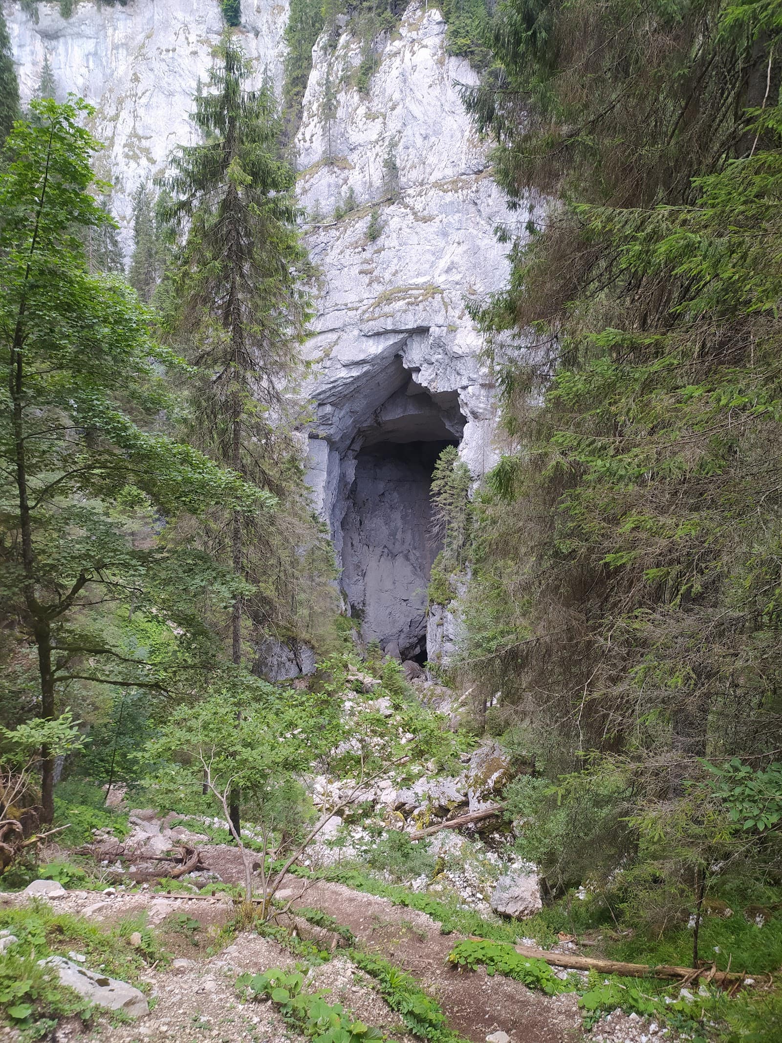
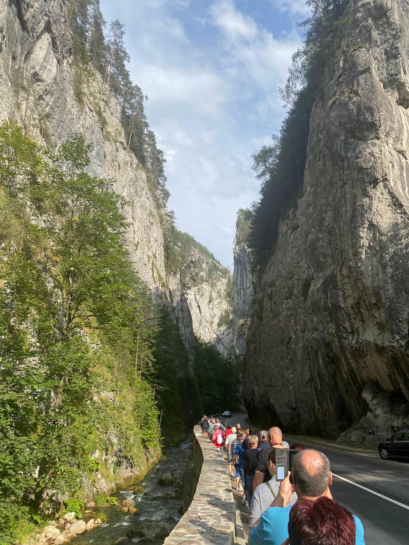
Peștera and the western side
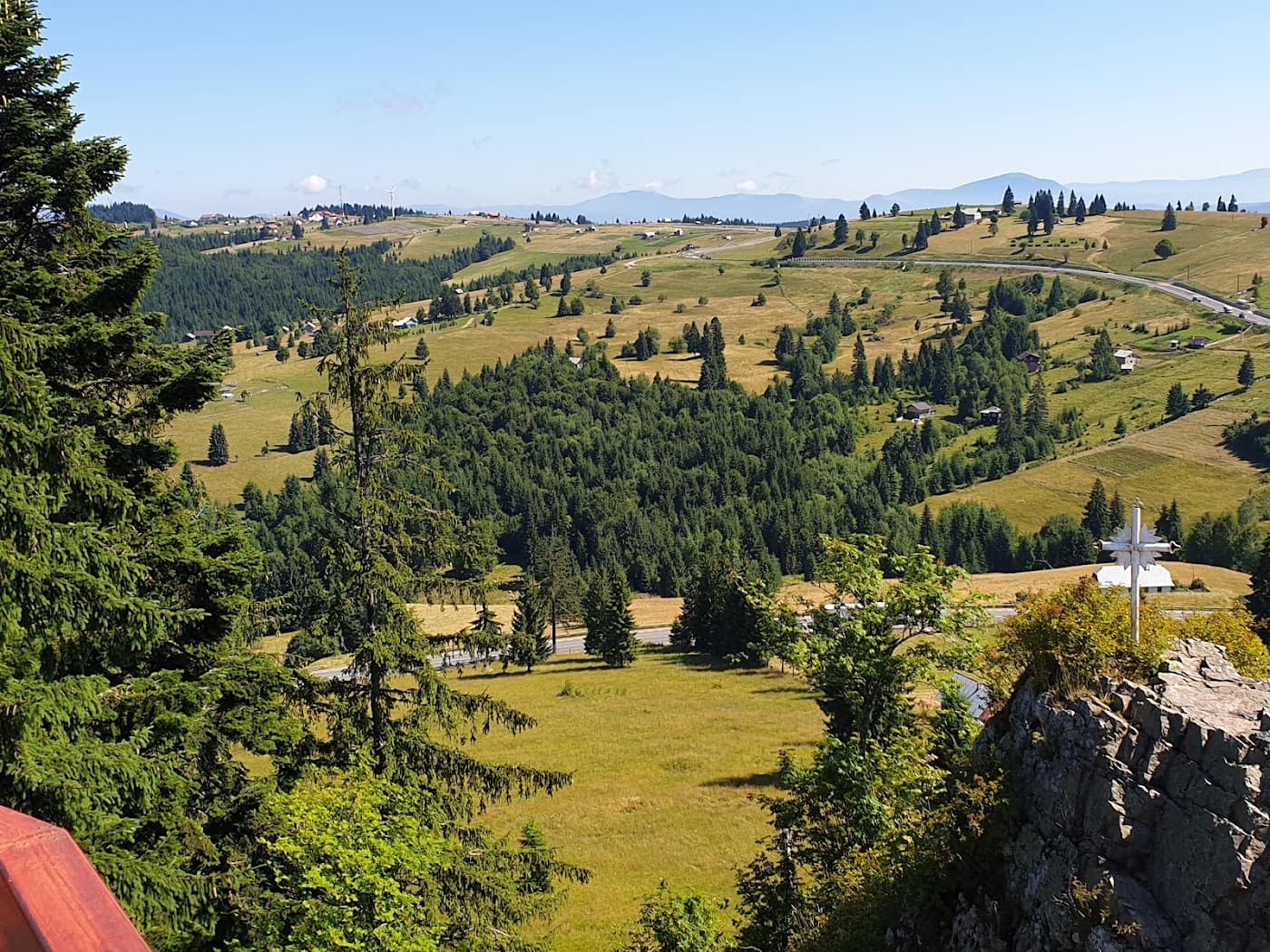
On the massif's western slope, the Peștera area shows another face of the Bucegi: meadows, shepherd's folds and a less crowded approach to the plateau than from Bușteni. Many use it as a starting point for quiet outings or as a descent option off the plateau to the west. It's also a good base for anyone wanting to avoid the crowd at the cable car station.
If you're planning a multi-day outing or a combination with the neighbouring massifs, it's worth looking at the recommended mountain hiking gear. And if the high mountains have caught you, the nearby Piatra Craiului Ridge is the natural next step.
When to go to the Bucegi
Summer (June–September) is the classic season for the plateau: the snow has melted, the cable cars run, the trails are accessible. Early autumn brings superb colours and smaller crowds, but shorter days. In winter, the plateau becomes serious alpine terrain, with avalanche risk on the slopes and blizzards — not beginner ground, however close the cable car may be.
Whatever the month, the golden rule is the forecast. To choose the right month, see our guide on when to go to the mountains, by season.
Frequently asked questions
Are the Bucegi suitable for beginners?
Yes, they're one of the most accessible massifs thanks to the cable cars and the relatively gentle plateau. But accessibility doesn't mean guaranteed safety: the plateau weather is the same 200 m from the cable car as it is deep in the wilderness. Go in stable weather, start early, and carry a shell layer.
How long is the Babele–Omu trail?
The round trip to Omu adds up to several hours of walking on exposed plateau; the map times are indicative and depend on fitness and wind. Plan your return to the cable car before the last run and keep a descent on foot as a backup.
How do I reach the plateau by cable car?
From Bușteni, the cable car rises straight to the Babele area, the fastest route; from Sinaia, the lifts climb in stages toward Cota 1400 and higher. Check the schedule and the last run, because the lifts stop in strong wind and have queues on weekends.
Can I see the Sphinx and Babele without a long hike?
Yes. They're a few steps from the upper station of the Bușteni cable car, so accessible even with children or without experience. Still, treat the weather seriously and carry protective clothing, because you're on an alpine plateau above 2000 m.
When is the best time for hiking in the Bucegi?
Summer, June–September, is the classic season, with melted snow and working cable cars. Early autumn is superb and quieter. In winter the plateau becomes serious alpine terrain — see the guide on when to go to the mountains, by season and always check the weather.