The Apuseni Mountains don't read like the rest of the Carpathians. You don't come here for the ridge, you come for the hollow inside the rock: limestone plateaus that look gentle from a distance, riddled with dolines, shafts and caves. Water vanishes under your feet and resurfaces kilometres away, and the trail rarely climbs spectacularly — it traverses, drops into closed basins, threads through forest and low meadows. This is a massif that rewards curiosity rather than altitude ambition: it works for families and for beginners. The full area is at Apuseni, the protected-area context at Apuseni Nature Park.
Counterintuitively, the gentle relief hides technical ground. Wet rock is as slippery as soap, and under the canopy the path stays muddy for days after rain. It isn't altitude that catches you out here — it's damp, underground cold and route-finding on a featureless plateau.
How to read the difficulty grades
Four grades, describing real effort.
Easy — good path or forest road, small elevation gain, no passages that need your hands. Fine for children and beginners.
Moderate — decent fitness and sustained climbing, a few hours of walking on ground that is rough in places. Not technical, but tiring.
Hard — a long day, big elevation gain, serious terrain; you start early and you don't improvise your kit.
Expert — ridgeline, exposed passages, demanding navigation; experience and equipment are mandatory.
Our published figures are indicative: they describe a steady pace on dry ground. Rain, snow, fog, a mixed group or a heavy pack easily add 30–50% to the time. Where we don't have a measured distance, we say so plainly instead of inventing a number. Check the weather and road conditions at roads.
The trails, one by one
Gârda de Sus – Scărișoara Ice Cave
The Scărișoara Ice Cave trail is graded easy: around 75 minutes and roughly +400 m, indicative. The exact distance is unknown to us, so we don't invent it — on the ground it feels short but continuously uphill.
This is the way most people first enter the Apuseni. You climb from Gârda de Sus on road and path, through scattered hamlets and forest, up to the plateau where the shaft opens. The effort is continuous, with no hard passages, but those 400 metres tell if you set off at a strolling pace. Down in the shaft lies one of Europe's oldest underground ice deposits: Scărișoara Cave is a geological fact, not a tourist set-piece, and the descent on the stairs is exactly where people get it wrong — they get wet, they slip, they hurry.
Suited to beginners and families with children who already walk a few hours on their own; not suited to anyone who turns up in street trainers without a warm layer.
Padiș – Cetățile Ponorului
Padiș – Cetățile Ponorului is moderate: roughly 6 km, around 150 minutes, about +300 m, again indicative. It's a half-day loop in the heart of the plateau, starting from the area around Padiș hut.
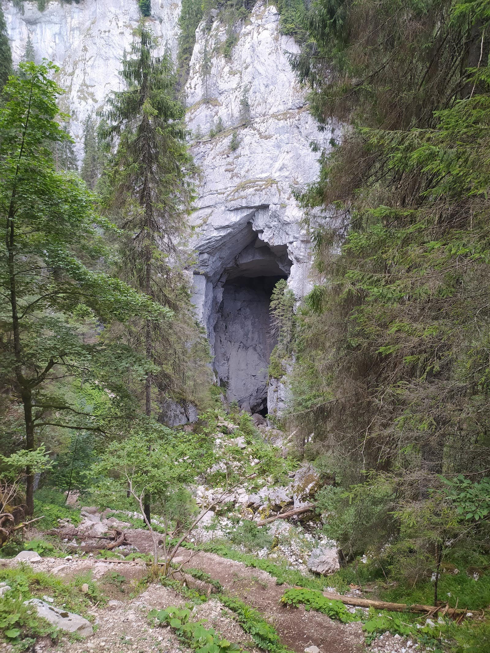
The terrain is the classic Apuseni mix: spruce forest, tall-grass meadows, muddy stretches and, at the end, the rim of a vast karst basin where a stream disappears underground. The descent to the viewpoints is what changes the grade: in the wet, roots and polished limestone are seriously slippery, and the climb back up surprises plenty of people. Waymarking is generally good, but in fog the plateau becomes disorienting.
Suited to walkers with some kilometres in their legs and to older, fit children. Not suited to anyone who wants a one-hour stroll or lacks a lugged sole.
The massif offers more than our list: links between the Padiș meadows, long forest roads above the Arieș, a visit to Bears' Cave and the built-up route through Turda Gorge — a different world, vertical limestone and a narrow ledge path. The rest is in the trail catalogue and the attractions list.
Seasonality
Summer and early autumn are the peak: dry path, long days, Padiș at its best. In spring the ground is heavy until it dries out — mud, swollen streams, snow patches lingering in the northern forest. Late autumn brings fog, and navigation becomes the main problem.
In winter both routes change their nature. Vehicle access into the interior can be limited, the path disappears under snow, and what was "easy" becomes a snow outing with a real risk of getting lost. Altitude routes stop being hiking in winter and become winter mountaineering: they demand experience, equipment and an honest reading of conditions. Anyone who wants snow without the complications has the obvious alternative at Arieșeni – Vârtop.
Specific to the Apuseni: the caves keep a cold, near-constant regime whatever the season. It doesn't matter how hot it is outside in August — underground you dress for late autumn.
Access, huts and logistics
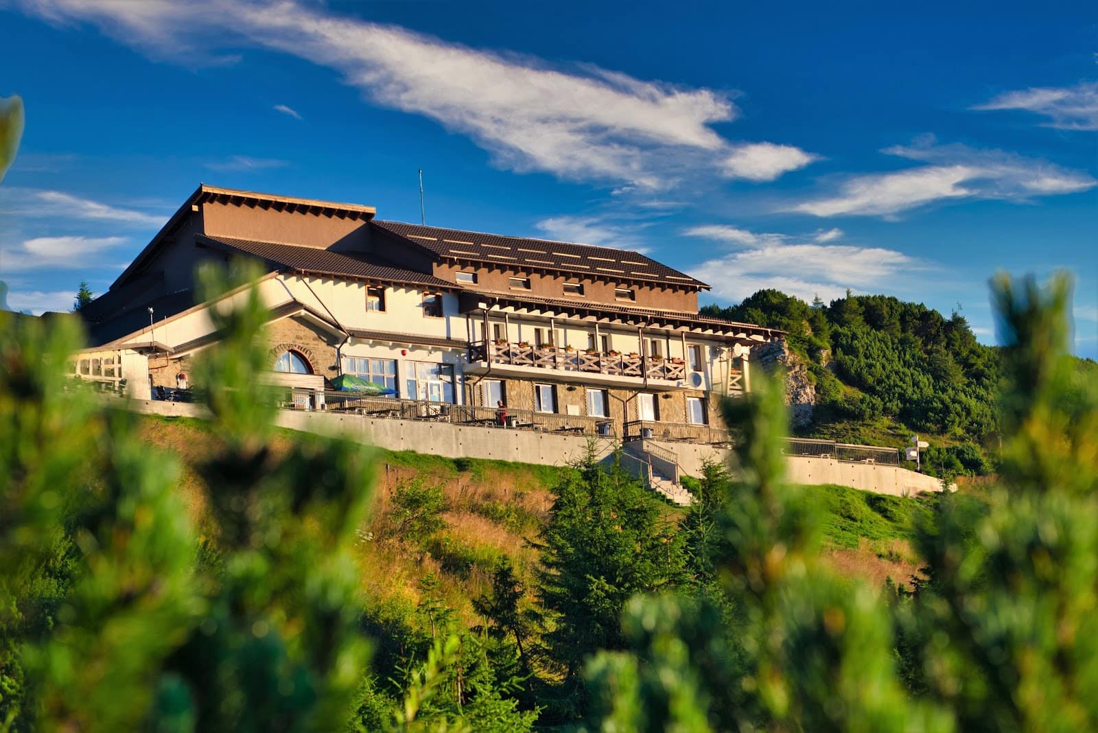
You approach the Apuseni along the valleys. From the south-east you come up the Arieș, through Gârda de Sus, the trailhead for Scărișoara. From the north-west you take the roads to the Padiș plateau, where the hut is the anchor of the area: most loops start there.
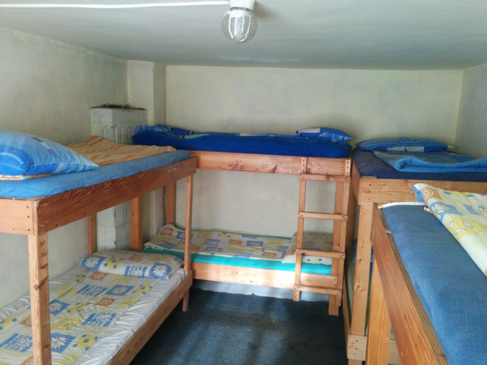
Access roads are narrow, with gravel sections. This is not terrain for a low car after rain, nor a place to arrive on your last litre of fuel. Accommodation is in the scattered villages along the Arieș and in the Padiș–Pietroasa area: look through accommodation and, for local hosts, guesthouses. For guided caving or a day with a mountain guide, see experiences.
The live cameras on webcam show the cloud base at a glance in the morning, and two-day logistics are covered in the mountain weekend guide.
Safety
Three things cause most of the trouble here.
Underground cold plus thin clothing. You climb up sweating and step straight into a cold, damp environment. Carry a warm layer even in a heatwave.
Wet limestone. Stairs, walkways, cut steps, roots — everything slides. Boots with a lugged sole, not trainers; details are in the equipment guide.
Fog on the plateau. If you're not certain of your direction, go back the way you came; don't cut across meadows "to save time".
Beyond that: tell someone where you're going, carry water (springs are rare on karst) and don't count on phone signal. Emergency numbers are at Salvamont, and weather-based decision making is covered in safety and weather in the mountains.
Frequently asked questions
Which trail suits children?
Scărișoara. It's easy, but those ~400 m of climbing need patience and breaks, and the descent into the shaft has to be done slowly and supervised. Padiș works with older children.
How long does it actually take?
The published times — around 75 minutes for Scărișoara, around 150 for the Padiș loop — are indicative. With a mixed group, in mud or in bad weather, add a third without blinking.
Why is there no distance on some trails?
Because we don't have a reliable measurement and we'd rather say so than publish an invented figure. On karst terrain, time and elevation gain describe the effort better anyway.
Can both be done in one weekend?
Yes: one day in the Arieș area, one day on the Padiș plateau. The driving distance isn't negligible, so sleep close to the second day's trailhead.
What if the weather turns?
You have a real plan B: the show caves and the gorges work even in mediocre weather. What you don't do: don't head onto the plateau in thick fog and don't force descents on wet limestone. See also the season-by-season guide.