The Bucegi are the massif Romania climbs most often — and, precisely for that reason, the massif where people get it wrong most often. The steep wall above Bușteni hides a broad, permanently wind-scoured plateau behind it. That double nature explains almost everything about the Prahova Valley – Bucegi area: you get up there fast, sometimes too fast, and the terrain up top does not forgive a lack of preparation just because the path looks wide.
The massif is a protected area — see Bucegi Natural Park — and it is crossed by a dense network of waymarked routes, with mountain huts at sensible intervals. The trick is to pick a route that matches your fitness, not the scenery in the photographs.
How to read the difficulty grades
We use four grades, and they describe real effort, not a route's prestige.
Easy means a good path, modest elevation gain and simple navigation: fine with children and with people who don't train.
Moderate demands reasonable fitness and sustained climbing — not technical, but relentless, hour after hour.
Hard means a long day, big elevation gain and serious ground: scree, steep slopes, passages where your hands help. You start early and you budget for the descent too.
Expert is something else: ridge terrain, exposed passages, sometimes several days. It requires experience, equipment and the ability to turn back in time.
All the figures below are indicative. Times assume an average pace, in good weather on a dry path; fog or a heavy pack can add hours. Where we don't have a figure, we say so plainly — we'd rather write "it varies" than invent a number someone later believes while caught in a storm on the plateau.
The routes, one by one
Babele – Omu Peak
Babele – Omu Peak is the plateau classic: moderate, roughly 8 km, about 150 minutes and some +520 m of gain — indicative. It starts near Babele hut, crosses the open tableland and climbs to Omu Peak, the hub from which most of the massif's paths radiate.
The ground is gentle in gradient and deceptive in exposure: no trees, no shelter, and the wind blows constantly — people get lost here in fog, not on rock. Suited to anyone coming up on the Bușteni cable car; not suited to anyone starting late, without a map.
Bușteni – Jepii Mici – Babele
The walking alternative is also moderate, but of a different calibre: around 7 km, about 180 minutes and roughly +1000 m of climbing, indicative. You are climbing the wall itself, from forest into the alpine zone, on a well-trodden but mercilessly constant path.
This is the route that teaches people what elevation gain actually means: if you have never climbed eight hundred metres in a day, you'll feel it in the final quarter, right where the path leaves the forest. Recommended for anyone with decent fitness; avoid it in a heatwave or as your first outing of the season.
Bușteni – Caraiman Cross
The climb to the Caraiman Cross is graded hard: about 270 minutes and roughly +1150 m of gain, indicative. We don't have the distance and we won't invent it; it matters less than the profile anyway, which is almost uninterrupted climbing up to Caraiman hut.
The terrain alternates forest, ledges and scree, where a foot slips on the way down more easily than you'd think. This is not a "pop up, see the cross, come back" outing: it is a full day, with an early start. Anyone who has spent everything on the ascent would do well to consider the cable car down rather than their ambition.
Peștera – Omu Peak
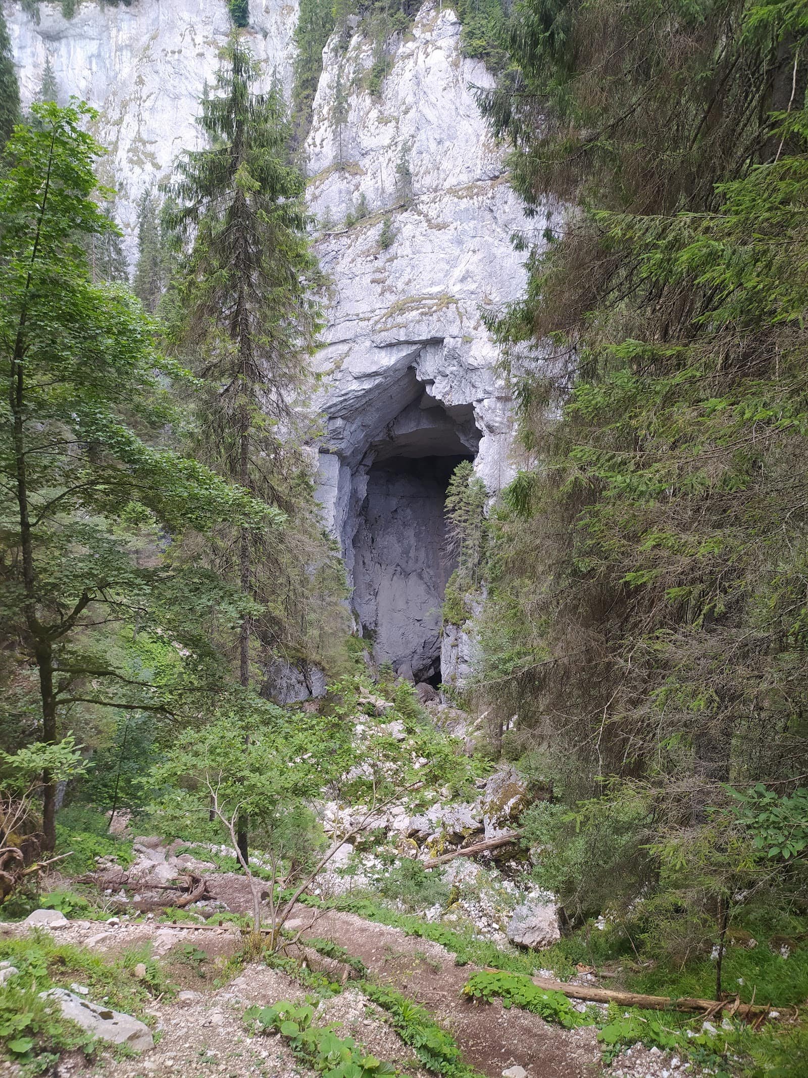
The route from Peștera shows the massif's other face: hard, about 9 km, 240 minutes and around +800 m, indicative. It climbs the Ialomița side, near Ialomița Cave.
The scenery is less theatrical than the Prahova wall, but the route is longer and lonelier — an advantage in good weather, a liability when it turns. Not suited to groups quietly relying on the assumption that "there's always someone else on the path".
Seasonality
Summer and early autumn are the comfortable window: dry paths, long days, huts open. In practice, all four routes above are warm-season routes for the ordinary walker.
From late autumn through May, the picture changes completely. Snow lingers, compacts, freezes and turns ordinary paths into slopes that demand crampons and an ice axe. A route graded "moderate" in summer becomes, in February, winter mountaineering — not a colder version of the same hike. Avalanche risk in the valleys is real, and short days leave little margin.
Mechanical access has its own season too: the cable cars have maintenance periods and stop in strong wind. Check road conditions and the mountain forecast before you set off, and the webcams will show you in seconds whether it's fog or clear sky up there.
Access, huts and logistics
The main gateway remains Bușteni, with good rail and road access — the walking routes and the cable car both start here. From the opposite side you come in via Moroeni – Peștera: slower, but far quieter.
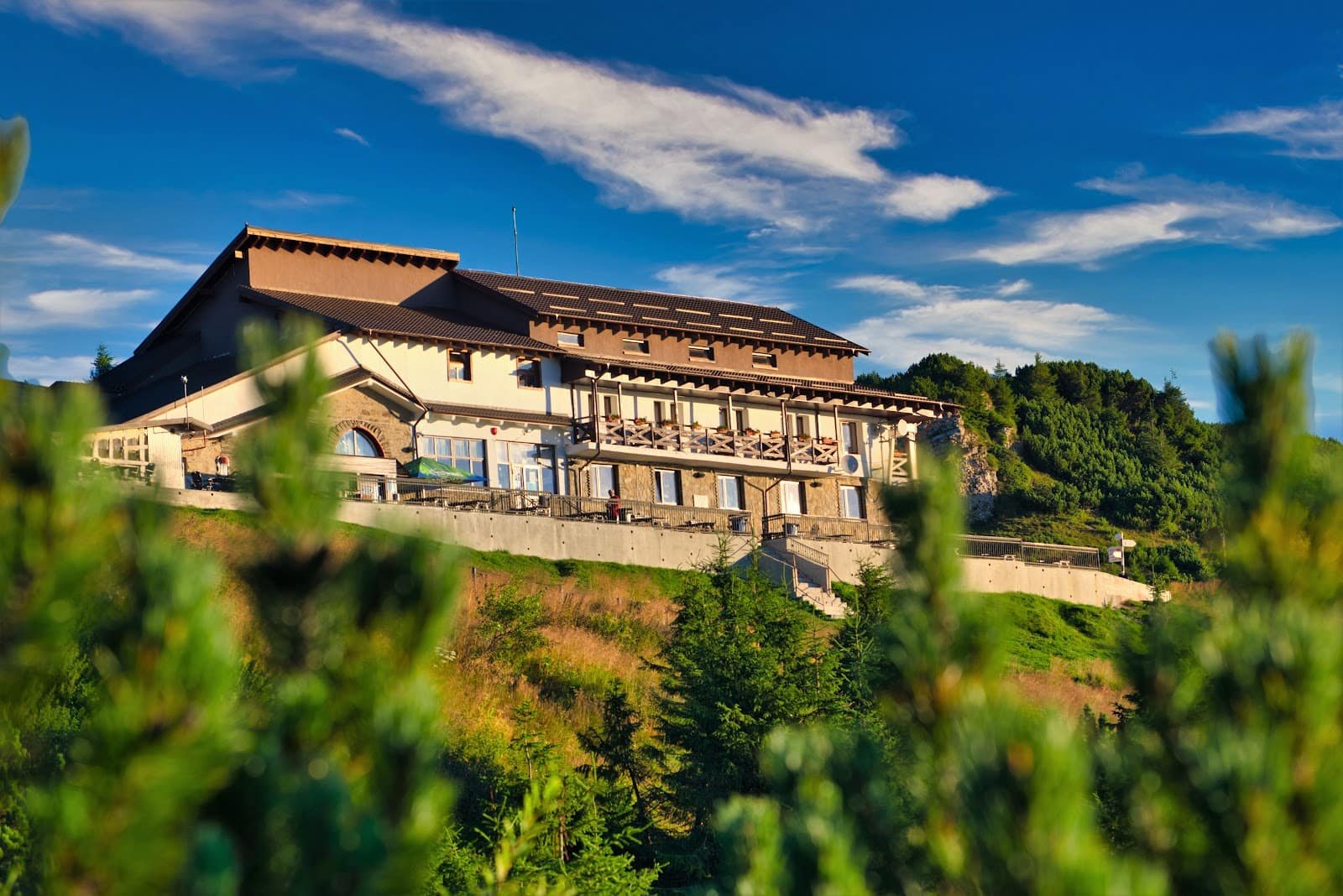
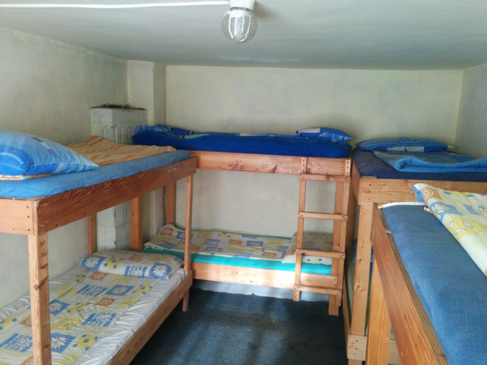
The hut network is what makes the Bucegi comfortable: Omu hut at the highest point of the network, Babele on the plateau, Caraiman below the cross, and on the Brașov side Mălăiești and Diham, both good bases for two-day outings. Opening arrangements vary from year to year; confirm in advance.
For a base to sleep in, see the accommodation in the area. If this is your first serious outing on the plateau, a mountain guide from the experiences section is the cheapest form of safety you can buy. As a short objective, Urlătoarea Waterfall remains the obvious choice.
Safety
Three things put people in danger in the Bucegi: weather that turns in under an hour, fog on the plateau, and starting too late.
Set off early, even if the route looks short. Take more water than you think you need and a waterproof layer even under a clear sky. Run through the list in the equipment guide before you leave the house. Tell someone where you're going and when you'll be back.
On the plateau, if you walk into fog without reliable navigation, stop or retrace your steps on the route you know — don't improvise a shortcut "down to the valley". Electrical storms are dangerous on open ground: get off the ridgelines. If something goes wrong, call 112 and ask for mountain rescue; don't wait for dusk to make up your mind.
Frequently asked questions
How long does a route actually take?
Our figures are indicative, calculated for an average pace in good weather. In a group, with stops or on wet ground, add a comfortable 30–50%.
Can I ride the cable car up and walk down?
Yes, it's a reasonable combination. Bear in mind that a descent of more than a thousand metres punishes the knees more than you expect; trekking poles genuinely help.
Can these routes be done in winter?
Not as ordinary hiking. In winter the same paths demand crampons, an ice axe and experience on snow-covered terrain — or a guide.
Which route suits children?
None of the four counts as "easy" on our scale. For families, a short objective at the base and a walk on the plateau after riding the cable car up is far more realistic.
What do I do if the weather turns halfway?
You turn back. It is the right call in the vast majority of cases. The huts on the plateau are shelter, not a compulsory destination.