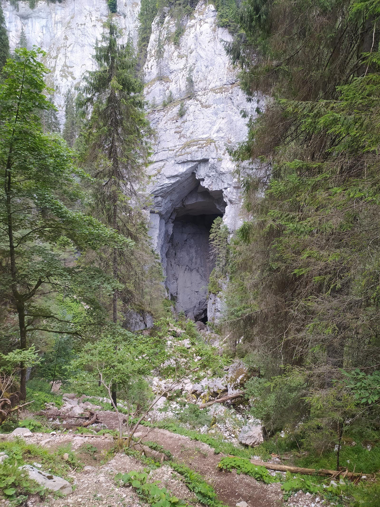
The Ceahlău is not the highest massif in the Carpathians, but it is among the most visually isolated: it rises alone above Lake Izvorul Muntelui, with no neighbours to hide it, which makes it look bigger than it is. That has a practical consequence many people discover late: a mountain standing alone in the path of the wind changes its weather far faster than one caught inside a chain. Up on the plateau you can get sun, fog and destabilising gusts within the same hour.
Structurally the massif is simple: two main ascents, one hut on the plateau and one landmark summit. Both classic routes in the Ceahlău–Bicaz zone climb around 900 metres, which makes them serious day outings, not strolls. Ceahlău National Park protects the high ground, with route and camping rules to be respected. The massif suits walkers of normal fitness who accept a long, continuous climb; it does not suit anyone hoping for a gentle path to the top.
How to read the difficulty grades
Our four grades describe commitment, not tiredness.
Easy — good path, clear waymarking, modest ascent, no exposure. Good for beginners and school-age children.
Moderate — decent fitness and sustained climbing, hours at a time. The path stays obvious, but the ground turns stony, with roots and sections that are slippery when damp.
Hard — a long day, a lot of ascent, serious ground: early start, time in reserve, the right kit, a plan B.
Expert — ridge and exposed passages, difficult navigation, experience and equipment mandatory.
The figures below are indicative. For the two routes here we do not know the distance precisely and we will not invent it — we give duration and ascent as a reference, but you check the kilometres on the signboards on the ground. Real time depends on pace, weather and breaks; 900 metres of ascent is felt by everyone, whatever the distance. Check the forecast on the morning of your walk.
The routes, one by one
Durău – Vârful Toaca — moderate
We do not know the distance precisely; the indicative duration is about 210 minutes, with roughly +900 m of ascent. This is the northern option, the busiest, starting from the Durău resort. You climb a long way through forest on a well-trodden path, then come out onto the plateau, where the landscape changes abruptly and the characteristic silhouette of Vârful Toaca appears. The final section to the summit is built up and needs no technique, but it is exposed to the wind — in strong gusts it becomes unpleasant. It suits anyone who can climb steadily for three and a half hours; it does not suit an afternoon start, because getting back in daylight is difficult.
Izvoru Muntelui – Cabana Dochia — moderate
We do not know the distance precisely; the indicative duration is about 180 minutes, with roughly +900 m. This is the eastern approach, shorter in time but with the same ascent — which mathematically means a steeper average gradient. You climb purposefully, in places over scree and slabs, with stretches where the path threads between rocks. The finish brings you to Cabana Dochia, the heart of the plateau. We recommend it to those who prefer a short, direct climb; we discourage it in rain, when polished rock makes the descent riskier than the ascent.
Seasonality
The comfortable season runs from late spring to autumn, when the path is clear and the hut is operating. Autumn is the most beautiful moment: the forest at the base colours spectacularly, and the air is clearer for the view over the lake.
In early spring the plateau can hold snow long after Durău is green. On packed snow, the steeper upper sections demand at least light crampons and experience — otherwise the descent becomes the problem, not the climb.
In winter both routes turn into snow outings, with strong wind on the plateau, visibility that vanishes in minutes and buried waymarks. This is not ground to improvise on in town boots, however short the distance looks. For choosing the month, see when to go to the mountains, season by season.
Access, huts and logistics
The two gateways are Durău, on the northern side, and Izvoru Muntelui, on the eastern one. Both are easily reached by car from the Bicaz direction, on tarmac all the way to the trailheads; check conditions and any restrictions on the roads page, especially outside the warm season.
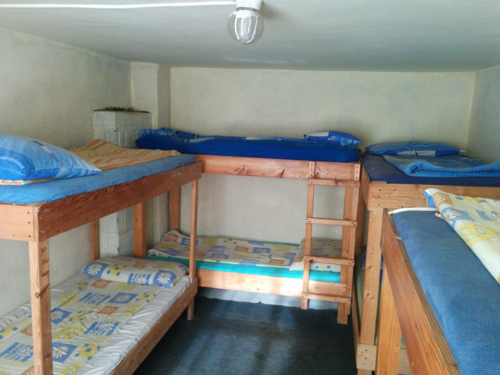
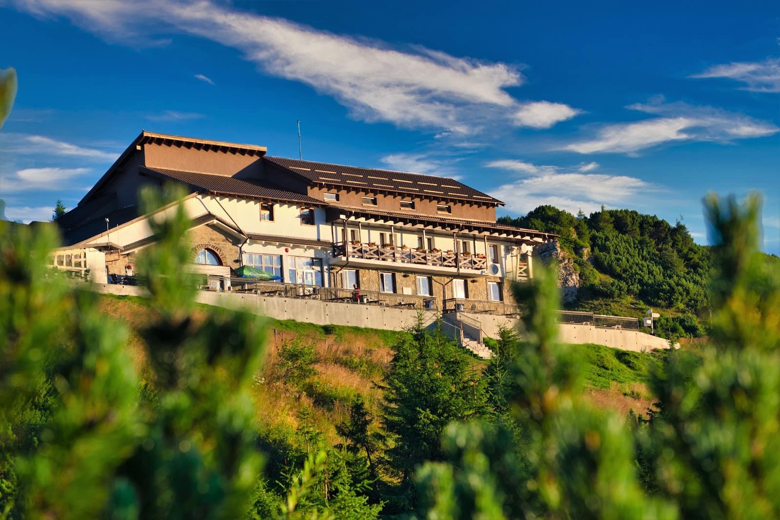
The reference point up in the mountain is Cabana Dochia, on the plateau: hot food, shelter and a decision point. If you want sunrise up high, or simply to split the outing in two, a night there changes the whole day — but places are limited and must be arranged in advance.
At the foot, Durău concentrates most of the offer: guesthouses and accommodation in the resort and the surrounding villages. The area combines very well with the Bicaz Gorges and Lacu Roșu over a two- or three-day weekend — see itineraries for options, and if you are travelling from far away, the mountain weekend guide handles the transport and accommodation side. For groups without experience, a mountain guide is useful especially in winter: see experiences.
Safety
The typical mistake on the Ceahlău is underestimation: the massif looks small on the map, so people set off late, with little water and town clothing. The 900 metres of ascent and the exposed plateau do the rest.
Concretely: start in the morning, carry enough water, grippy soles, a wind layer and a rain shell, a warm garment even in summer — on the plateau the felt temperature changes the moment the wind picks up. A headtorch is not optional: descending through the forest in the dark is the most frequent reason for a call-out. The cameras on webcam show you whether the summit is in cloud, which a forecast does not always say. Save the Salvamont number and leave your plan with someone.
In fog, navigation on the plateau is harder than it looks, because landmarks disappear and paths branch. If visibility drops below a few tens of metres, returning by the route you know is the correct decision. Details in the equipment guide and in safety and weather in the mountains.
Frequently asked questions
Which route is easier, Durău or Izvoru Muntelui?
Neither is easy: both are moderate, with around 900 metres of ascent. Durău is longer in indicative time (about 210 minutes) and gentler in gradient; Izvoru Muntelui is shorter (about 180 minutes) and, precisely for that reason, steeper.
How many kilometres are the routes?
We do not know precisely and we do not publish invented figures. Distances differ with the path variant and the exact starting point — check them on the signboards on the ground or at the hut.
Can I go up and down in the same day?
Yes, both are feasible day outings for someone of normal fitness, provided you leave in the morning. With an afternoon start you risk descending in the dark.
Is it suitable for children?
With older children used to walking for a few hours, yes. With small ones, no — the climb is continuous, and up top there is nowhere to retreat quickly if the weather turns.
What do I do if the wind is strong on the plateau?
You give up the exposed final section and pull back towards shelter or the forest. Wind is the main reason people change their minds here, and it is a good decision. You will find the rest of the options on the trails hub and on attractions.