
If the Bucegi are the massif Romania climbs, the Făgăraș is the massif Romania respects. It is the country's longest and highest alpine ridge: a continuous blade, with deep valleys on both flanks and very few places from which you can get down quickly. The ratio between effort and consequence is not the one you know from weekend massifs.
The paradox of the Făgăraș – Transfăgărășan area is that access can be absurdly comfortable. The Transfăgărășan — DN7C — drops you straight into the alpine zone at Bâlea Lac without a single metre climbed on foot. From that same spot begins both a one-hour stroll and a multi-day traverse. That distinction is all that matters.
How to read the difficulty grades
We use four grades, and they describe real effort, not a route's fame.
Easy — a good path, small elevation gain, simple navigation; fine with children and without training.
Moderate — decent fitness and sustained climbing, hour after hour, with no technical difficulties.
Hard — a long day, big elevation gain, serious ground: scree, steep slopes, passages where hands help.
Expert — ridge terrain and exposed passages, experience and equipment mandatory, sometimes several days.
In the Făgăraș, three of our four routes are expert. That is not editorial posturing: it is the accurate description of a massif where retreating costs hours, not minutes.
All the figures below are indicative. Times assume an average pace, good weather and dry ground; fog, wind or a traverse pack change the arithmetic. Where we don't have a figure, we say so — we don't invent numbers for a massif where people genuinely die.
The routes, one by one
Bâlea Lac – Capra Lake
Bâlea Lac – Capra Lake is our only easy route in the massif: roughly 4 km, about 90 minutes and around +250 m, indicative. It links Bâlea Lake to Capra Lake, above the road, through glacial cirque scenery.
It is the best possible introduction to the Făgăraș: you see genuine alpine terrain while staying close to the road. Suitable for families. Careful, though — "easy" does not mean "urban": the weather turns as fast here as anywhere on the ridge, and fog erases your landmarks in minutes.
Podragu Hut – Moldoveanu Peak
The route to Moldoveanu is expert: about 300 minutes and roughly +1100 m of gain, indicative. We don't have the distance and we won't guess it. It starts at Podragu hut and heads for Moldoveanu Peak, the highest point in Romania.
This is not "a trip to the highest summit". It is a long day on the ridge, with scree, steep grass slopes and passages where balance matters. Most people do it after a night at the hut. Not suited to anyone climbing to tick a box, or without experience of alpine ground in fog.
Bâlea Lac – Negoiu Peak
Bâlea Lac – Negoiu Peak is also expert: about 300 minutes, indicative; we don't have the distance or the elevation gain, and both depend on the variant chosen and on any bypasses. The objective is Negoiu Peak, one of the most severe in the country.
The key passage, Strunga Dracului, is a narrow, exposed couloir with loose rock — you go through one at a time, wearing a helmet, and not at all in rain, ice or lingering snow. Bypass variants exist; find out about them beforehand, not standing at the foot of the couloir. A route for people with the discipline to turn back.
The Făgăraș Ridge
The full ridge traverse is expert and a different category of commitment: roughly 70 km, a crossing spread over several days. We don't list a duration or a total elevation gain — they vary enormously with pace and with the descent points you choose.
You go with a tent or hut to hut, you carry water and food, and you accept that some days end in wind. Anyone setting off along the ridge must know in advance where they can descend in an emergency — Suru hut and the other points along the way are part of the plan, not a bonus. This is not a route for your first long trek.
Seasonality
The practical window for hiking is summer and early autumn: clear paths, long days, huts open.
The rest of the year the Făgăraș is winter terrain: snow lingers on the northern flanks, turns to hard névé and demands crampons, an ice axe and avalanche assessment. All the expert routes above are, in winter, mountaineering — not hiking. Even the easy route at Bâlea changes character completely under snow.
Road access has its own calendar: the alpine section of the Transfăgărășan usually opens only in high summer, and an early snowfall can block it overnight. Check road conditions and the mountain forecast before you leave, and take a look at the webcams.
Access, huts and logistics
The two gateways are the Transfăgărășan from Curtea de Argeș or from Cârțișoara, plus the northern valleys for those walking up. For planning the road itself, see the complete Transfăgărășan guide.
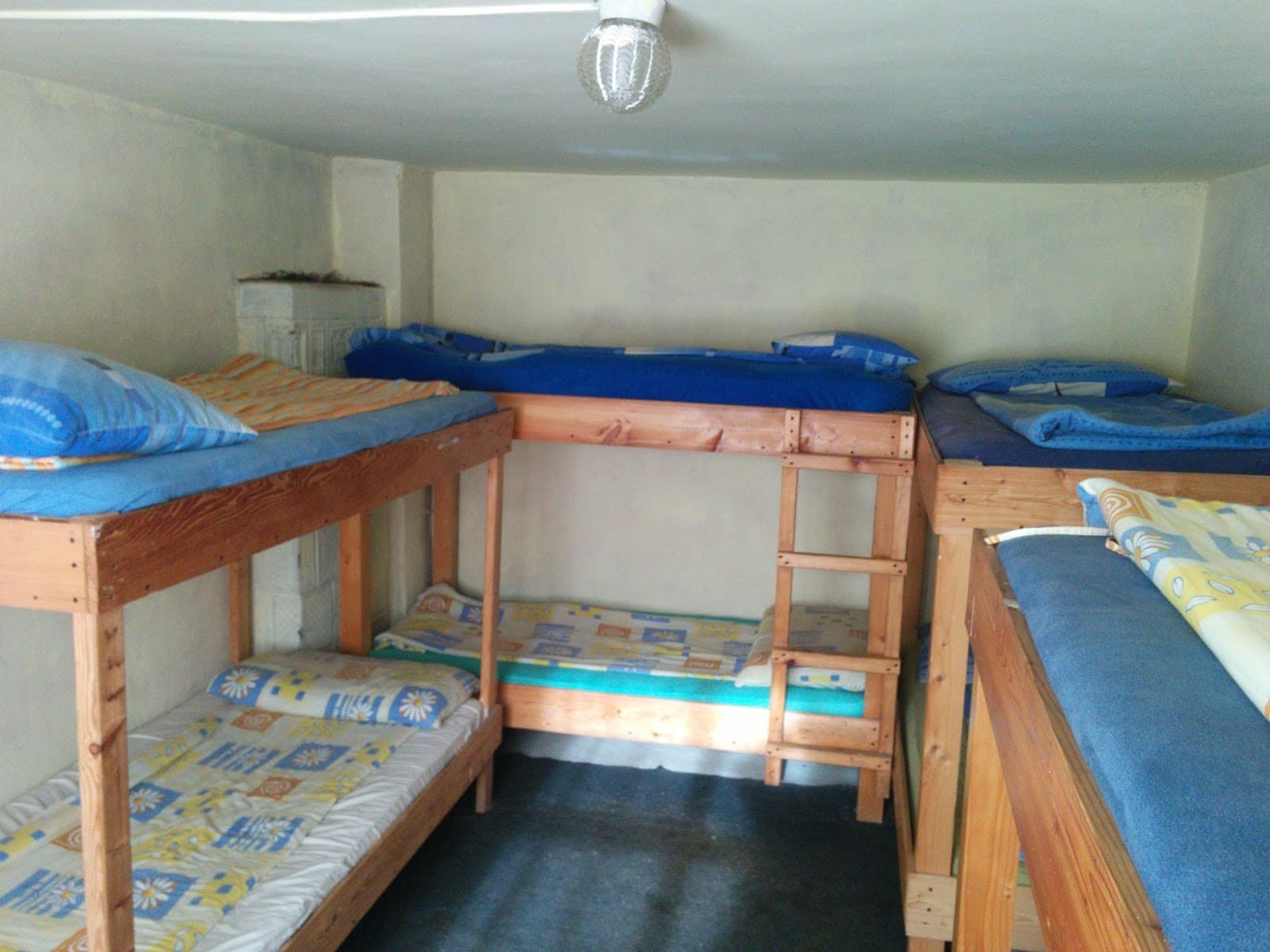
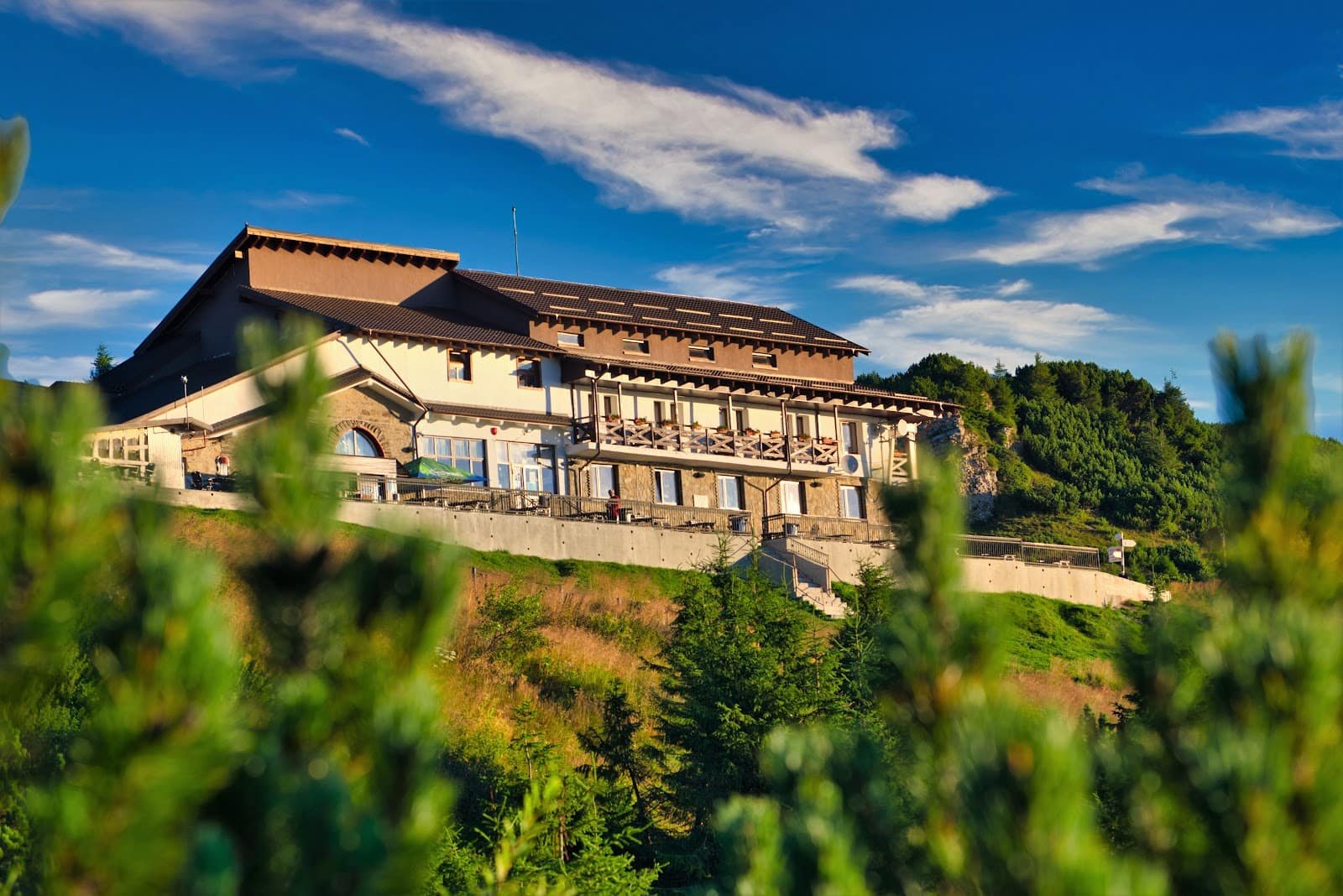
The huts are the massif's backbone: Bâlea Lac hut beside the road, Podragu hut as the classic base for Moldoveanu, and Negoiu hut on the northern side. Book early; capacity is small, and improvising up there is expensive.
When the road is closed, the Bâlea cable car remains the way in. And if you want the ridge or Moldoveanu without learning everything the hard way, a mountain guide from the experiences section is the best investment you can make. As a short stop, Bâlea Waterfall is a few steps off the road.
Safety
The Făgăraș punishes three things: underestimating distances, starting late, and stubbornness. The ridge is long, shelters are rare, and an improvised retreat down an unknown valley is the classic beginning of a rescue call.
Set off at first light on the long routes. Take a thermal layer, a waterproof and gloves even in August — ridge wind changes the felt temperature brutally. Plan your water: reliable sources are few. Tell someone your route and your return time.
Electrical storms are the serious summer risk: if you hear thunder, get off the ridge immediately, not "after the summit". On exposed passages, a helmet is not decoration. If the situation gets away from you, call 112 and ask for mountain rescue — as early as possible, not at nightfall.
Frequently asked questions
Can I reach Moldoveanu in a single day from the car?
Not realistically. Our route starts at the hut and is graded expert, at about 300 indicative minutes one way. Most people plan two days.
Is Strunga Dracului compulsory for Negoiu?
No, bypass variants exist. The choice depends on conditions and on the group's experience, and in the wet or on lingering snow the couloir is simply not attempted.
How long does the full ridge take?
We don't have a figure and we won't invent one: it depends on pace, weather and your descent points. You plan it in days, not hours.
When is the alpine section of the Transfăgărășan open?
Usually in high summer, with closure arriving alongside the first snowfalls. The dates differ from year to year — check road conditions before you set off.
Which routes suit beginners?
Only Bâlea Lac – Capra Lake counts as "easy" on our scale. The rest require alpine-terrain experience or a guide.