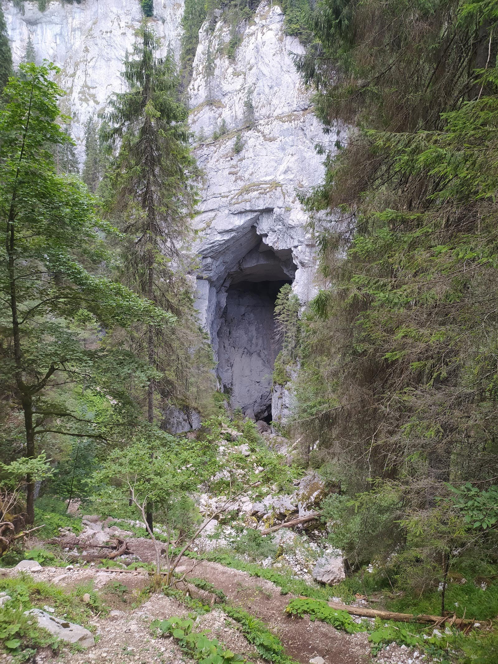
Piatra Craiului does not behave like the other Carpathian massifs. It has no plateau, no wide valleys, and it does not forgive improvisation: it is a single blade of limestone, thin, rising above Zărnești like a wall. The high point is Vârful La Om, and the whole massif is protected inside Piatra Craiului National Park — waymarks to be respected, camping only where permitted, chamois on the slopes.
It suits two very different kinds of people, and confusing the two causes most of the trouble here: casual walkers, who have two excellent low-level routes, and experienced mountain travellers with real ridge mileage. There is almost nothing in between. The routes in the Piatra Craiului zone all start from the same place, which is misleading — the same trailhead does not mean the same level of commitment.
How to read the difficulty grades
Our four grades describe commitment, not tiredness.
Easy — good path, clear waymarking, modest ascent, no exposed passages. Fine with school-age children. It does not mean "no effort"; it means a mistake will not have serious consequences.
Moderate — decent fitness and sustained climbing, sometimes for hours. The path stays obvious, but the ground is stony and slippery in the rain.
Hard — a long day, a lot of ascent, serious ground. You are into full-day logic: early start, time in reserve, a plan B.
Expert — ridge and exposed passages, cables, difficult navigation. Experience and equipment are mandatory, and a quick retreat often does not exist.
The figures below are indicative: they describe an average walker, in good weather, without long stops. Real time depends on pace, weather and trail condition — when wet, this limestone is far more slippery than it looks. Check the forecast on the morning of your walk and treat every estimate as a starting point, not a promise.
The routes, one by one
Prăpăstiile Zărneștiului — easy
About 4 km, around 90 minutes, roughly +200 m (indicative). The natural way into the massif: a gorge corridor between vertical walls, cool even in the height of summer. You walk the valley floor, on gravel and forest track, with no hands-on sections. We recommend it for families with children and for anyone with only half a day. Take care after rain: the gorge floor holds water and wet stone, and a narrow valley is not where you want to be caught by a storm.
Zărnești – Cabana Curmătura — easy
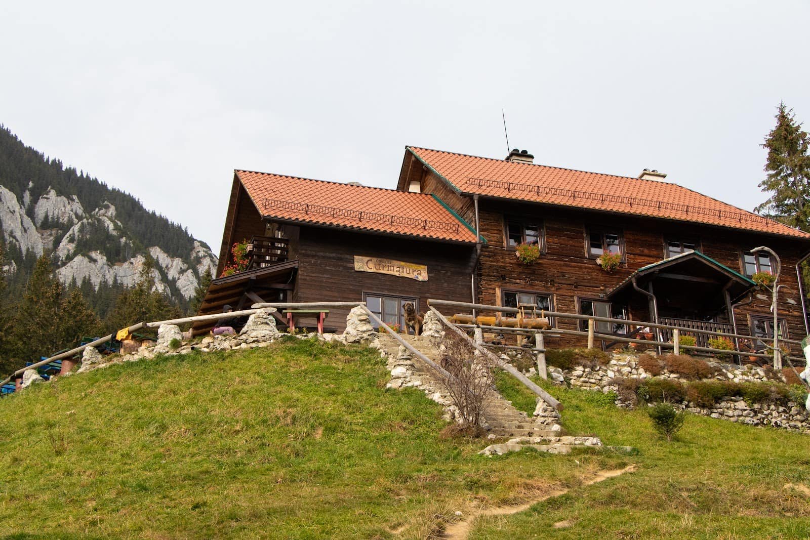
About 5 km, around 120 minutes, roughly +500 m (indicative). We still grade it easy because the path is good and the waymarking clear, but those 500 metres are real and you feel them in the last third, where the gradient steepens. It is the best effort-to-view ratio in the massif: you reach Cabana Curmătura, with the east wall straight ahead. Not a route for trainers in the rain — polished stone makes the difference.
The Piatra Craiului ridge — hard
We do not know the distance, duration or ascent precisely and we will not invent them — they vary a great deal with the variant chosen and with the entry and descent points; ask people at the hut who have done it recently. What we can say honestly is how it feels: a long limestone crest, with stretches right on the edge, drops on both sides, and passages secured with cables. You use your hands often, navigation demands attention, and there is almost no water. It is for walkers with experience of exposed ground who know when to turn back. It is not for beginners, not for children, and not for windy or foggy days: on the crest there is no shelter and no fast way down.
Seasonality
Summer, roughly June to September, is the window for the ridge: long days, dry rock, a working hut. Even then, afternoons often bring electrical storms, and a limestone crest is the wrong place to be. Starting early is a safety measure, not a preference.
Spring and autumn show the massif at its best and at its most deceptive: it can be green at the foot while snow lingers on the northern slopes, and cloud climbs in minutes.
In winter the high routes stop being hiking. Under snow, the crest becomes mountaineering: crampons, ice axe, movement technique. Wind-packed snow turns to hard ice on the steeper passages, and the cables may be buried. Without that background, winter means the lower routes. For choosing the month, see when to go to the mountains, season by season.
Access, huts and logistics
The gateway is Zărnești, easily reached from Brașov and Bran. Tarmac to the town, then an access road towards Plaiul Foii or the gorges — check conditions on the roads page. The parking areas at the road end fill early in summer; an hour gained in the morning solves both the parking and the weather.
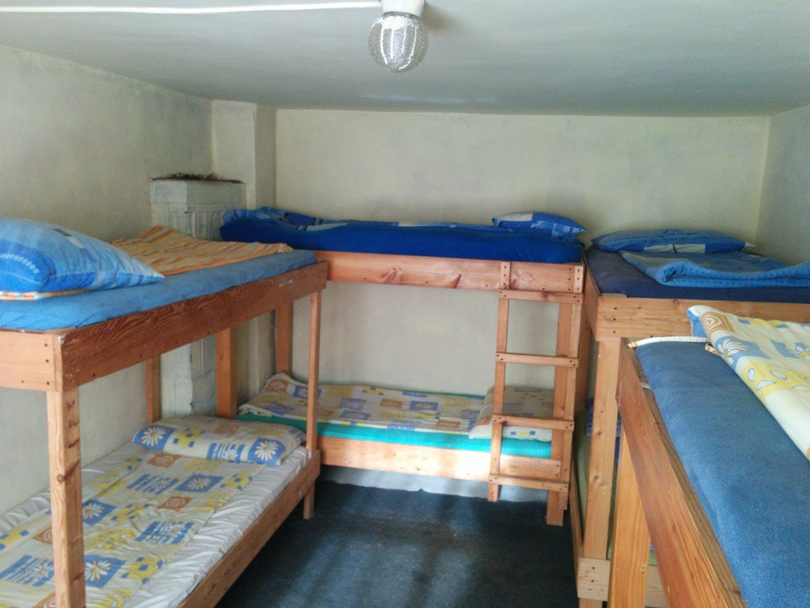
The hut that anchors the massif is Curmătura: launch point for the ridge, hot food, a navigational reference. Plaiul Foii, on the western side, is the other approach. Beds fill quickly in season.
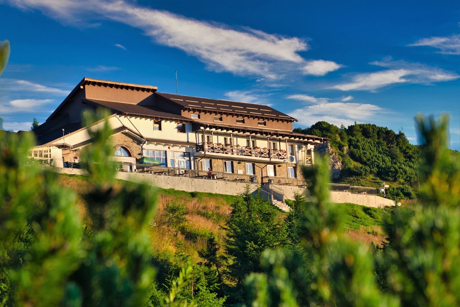
At the foot: guesthouses in Zărnești, Măgura and Peștera, plus the wider accommodation offer in the Bran–Moeciu–Fundata zone. If you stay an extra day, Bran Castle solves a day of bad weather. For the ridge, a mountain guide is the difference between a successful outing and a forced retreat: see experiences.
Safety
Three things cause nearly all the incidents here: people who choose the ridge from photographs, with no experience of exposed ground; late starts, followed by a storm or a descent in the dark; and the wrong footwear on wet limestone.
Concretely: start early, carry water (there are no sources on the crest), grippy soles, a wind and rain layer, a headtorch even if you expect to be back in daylight. The cameras on webcam show the real cloud base, which a forecast does not. Save the Salvamont number and tell someone where you are going; GSM coverage is patchy, especially on the western side. Turning back in time is an expert decision, not a failure. Details in the equipment guide and in safety and weather in the mountains.
Frequently asked questions
Can I do the ridge in a single day?
Some people do, but we will not give a duration: we do not know it precisely and it varies a great deal with the variant chosen. If you have any doubt, plan a night at the hut rather than forcing a long day.
Which route suits children?
Prăpăstiile Zărneștiului: short distance, little ascent, no exposure. The climb to Curmătura works with children used to walking, but those 500 metres need patience and breaks.
Do I need technical equipment?
For the two easy routes, no — good boots and clothing for changeable weather. For the ridge, yes: proper footwear, a helmet on the cabled sections and, in winter, full mountaineering kit.
How busy is it at weekends?
The gorges are among the most visited spots in the area, and the lower path gets crowded after ten in the morning. The ridge stays much quieter, but on the cabled sections even a few people ahead of you means waiting.
What do I do if the weather turns suddenly?
You go down. You do not wait on the crest, you do not shelter under the wall, you do not carry on "just a bit further". Descent lines off the ridge are known in advance, not improvised. You will find the rest of the routes on the trails hub, the landmarks on attractions, and for a less exposed crest compare with Babele – Vârful Omu in the Bucegi.